 MVC’s Mapping Services
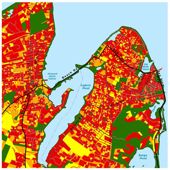
The MVC’s mapping department provides assistance to the county’s seven towns, Island’s non-profit groups, and the general public. Using the most current and accurate data available for the region, our mapping services include cartography, spatial data analysis, field data collection, and compilation of the county-wide map data warehouse.
Contact MVC cartographer Chris Seidel for custom map production or for data to use in your own map. Our spatial data conforms to MassGIS data standards and is in ESRI format. Be sure to review our GIS Data Hub for digital spatial data available for download. For fees associated with printing hard copies and creating custom map products, please consult the fee schedule.
Search, preview, and download our GIS data for Dukes County.
The MVC has a DOT-FAA certified sUAS (small unmanned aerial system) pilot on staff. Visit the sUAS page for full details.
Here you will find quick links to some of the most sought-after maps.
These maps work in a similar way to Google Earth, but contain detailed data for Dukes County.
Contact
Chris Seidel
GIS Coordinator and Cartographer
508-693-3453 extension 120
[email protected]
Useful Links
- MassGIS The Commonwealth’s Office of Geographic Information (MassGIS), is a comprehensive, statewide database of spatial information for mapping and analysis supporting emergency response, environmental planning and management, transportation planning, economic development, and transparency in state government operations.

