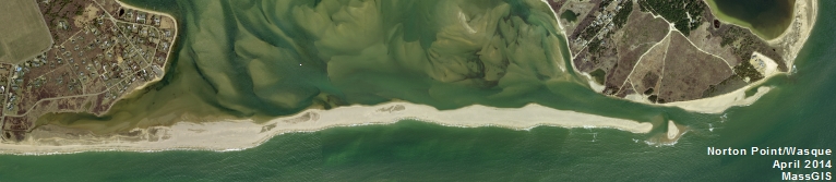
Martha's Vineyard is susceptible to a range of natural hazards including flooding, storms, and wildfire. Many of these will be exacerbated because of sea-level rise and other impacts of climate change.
The risk for a given building depends on its exposure to various hazards. It also depends on the category of its occupation: a warehouse or commercial structure presents a low hazard to human life in the event of failure, housing presents a moderate hazard, schools and places of assembly present a greater hazard, and essential and emergency facilities such as a hospital present the greatest hazard.
The following are the three greatest threats on Martha's Vineyard.
- Flooding: The risk of flooding applies to low-lying coastal areas. However, both these maps are based on historical data, and do not reflect the increased risk resulting from sea-level rise and the projected increased frequency and severity of storms. Therefore, especially for higher-risk occupancies, buildings should be located and designed in anticipation of projected future flooding risks.
- Storm Damage: Because of the Vineyard’s exposed location, buildings here are especially barraged by wind and rain during Nor’easters and hurricanes. Building codes have been modified in recent years to respond to these increased hazards but again, we can anticipate that the risk will increase during the lifespan of the building.
- Wildfire: Buildings located within and downwind of heavily wooded areas face an increased threat from wildfire. Buildings with the highest risk of burning are those situated adjacent to wildlands and buildings that are situated fewer than fifteen feet apart.
Useful Links
- Whole Building Design Guide: Natural Hazard Mitigation: This National Institute of Building Sciences provides guidance about designing buildings to deal with a number of natural hazards, and also provides links to other useful resources.
- Design Considerations in Floodproofing
- Designing for Flood Levels above the Base Flood Elevation