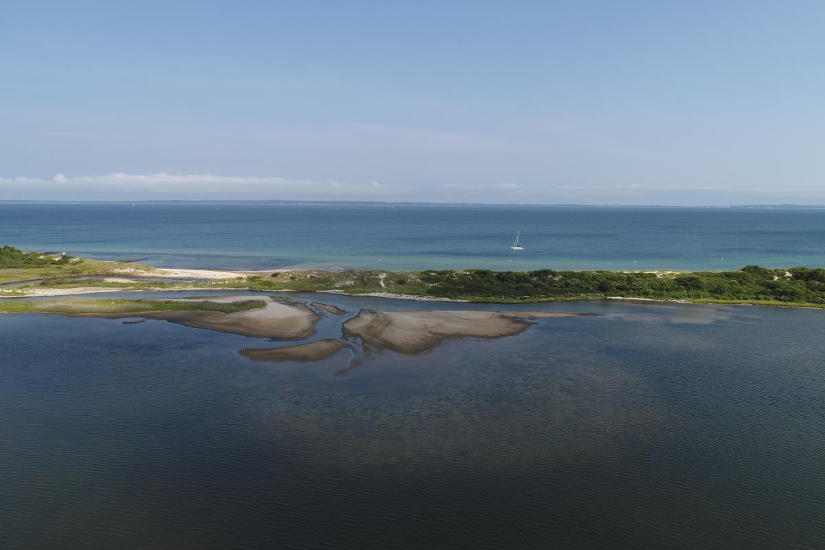
 James Pond State of the Pond Reports
Year 2020
Year 2019
Watershed
The 357-acre watershed is completely in West Tisbury.
Pond
The pond has an area of 38 to 55 acres, a mean depth of 3.5 feet, and a tidal range of 0.2 to 0.3 feet.
Water Quality
The MVC categorized this pond as Impaired. Eelgrass is not known to be in the pond. Known to be eutrophic with excessive filamentous and rooted weeds decaying in August. Low dissolved oxygen and high organic nitrogen. Pond is physically constrained and impacted.
Up-Island 208 Project
The 208 Equivalency Report (aka Up-Island Management plan) is a comprehensive review of water quality and habitat conditions in five Up-Island watersheds. The information presented in the report is intended to provide criteria to Up-Island communities as they establish baseline assessment of existing conditions and finalize their nitrogen mitigation plans.
Massachusetts Estuaries Project Study
There is no plan for an MEP study.
Implementation
There is interest from abutters to do nitrogen mitigation.

