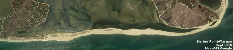
Maps of Wasque GPSed Cliff and Shoreline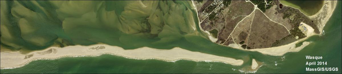
The staff of the MVC have been periodically GPSing the cliff and tide line along Wasque (Chappy/Edgartown) since June of 2012 to document the changing shoreline in this dynamic area. This latest map series shows the GPSed cliff and tide line from April 23, 2015 along with GPSed tracklines from several of the previous visits. The underlying aerial photo used in this map series is from 2011. The MVC uses a Trimble GeoXH GPS unit which is quoted as having sub-foot accuracy.
Wasque GPS April 2015 Tide 1 of 2
Wasque GPS April 2015 Tide 2 of 2
Wasque GPS April 2015 Cliff West
Wasque GPS April 2015 Cliff East 1 of 3